Last fall we decided we no longer needed the van. We listed it on a few sites, and had several people interested. Nothing came to fruition, so we kept the van over the winter. It worked pretty well in the snow, though it took me three tries to get up the hill to our house the first time it snowed. We were going to get studded tires, but then the winter turned out to be pretty mild, and we did fine with the all-terrain tires.
As spring rolled around, we ended up going on a few camping trips, and decided we weren’t really in a hurry to sell the van. It’s a really convenient way to camp. There’s no tent setup. Everything can stay in the van, and we can fit bicycles, kayaks, and paddle boards.
With a global pandemic making travel difficult, we came to value the van even more this summer. As we hadn’t seen family in Michigan in about a year, we decided to make the trip east this summer.
We weren’t going to fly, and we weren’t excited about staying in hotels, The trip looked to be a 2,245 mile drive, and it was going to take us several days of driving. A camper van ended up being perfect for the trip.
We decided to drive U.S. Route 2, which would take us, almost, from our house to the Mackinac Bridge, in the Upper Peninsula of Michigan. Route 2, known as the Hi-Line in Montana, is pretty far north, and we hoped had more camping, and less traffic than more southern routes.
It was hard getting out of town on time, and we ended up leaving Whitefish around 10am. Driving the rest of the day got us into the western edge of North Dakota, which was further than expected.
Near Culbertson, Montana, we made our first deviation from Route 2, and made our way over to the Sather Lake Campground, in the Little Missouri National Grassland. We had been a bit concerned about finding camping on this trip. According to the reports we’d heard, camping was at an all time high, in terms of popularity. At least for our first night, this turned out not to be a concern. The campground was almost empty. Of the 18 sites, it appeared that there were two, or three that were occupied.
We picked a site with no other campers around, setup for the night, made dinner, and observed the Pelicans, before going to bed.
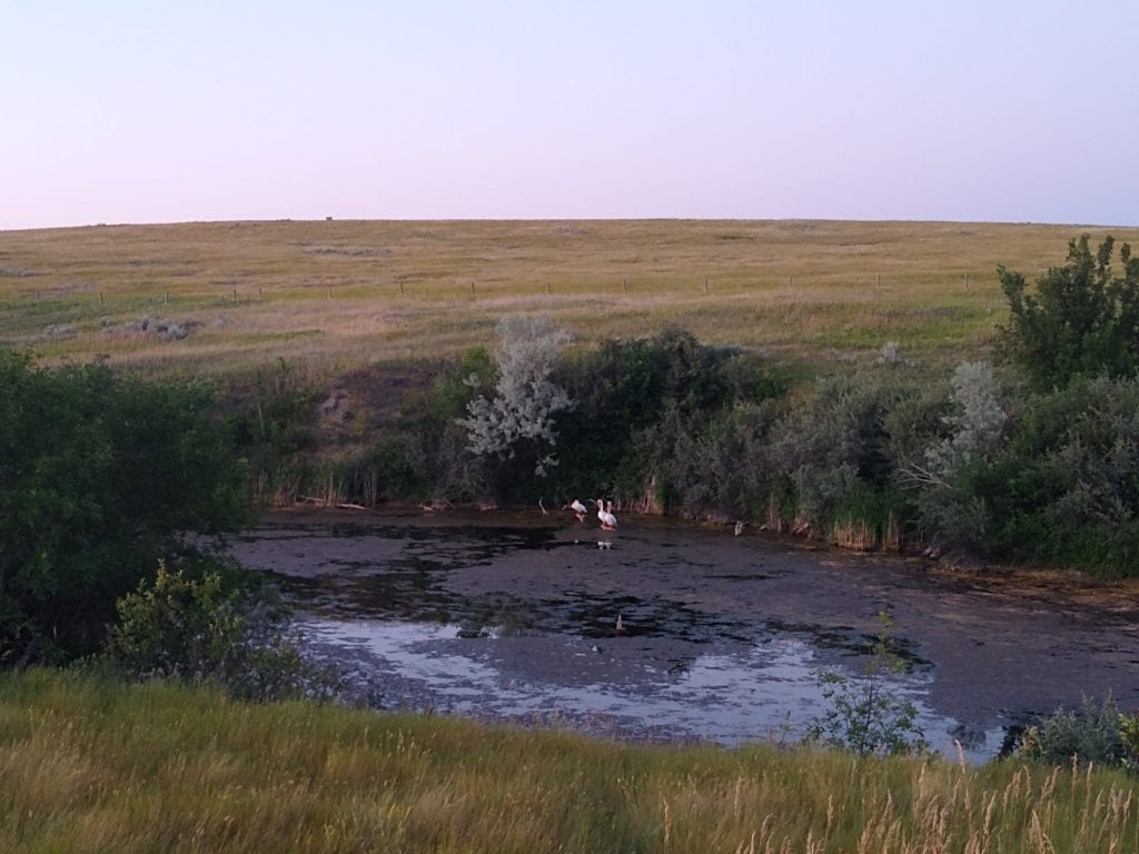
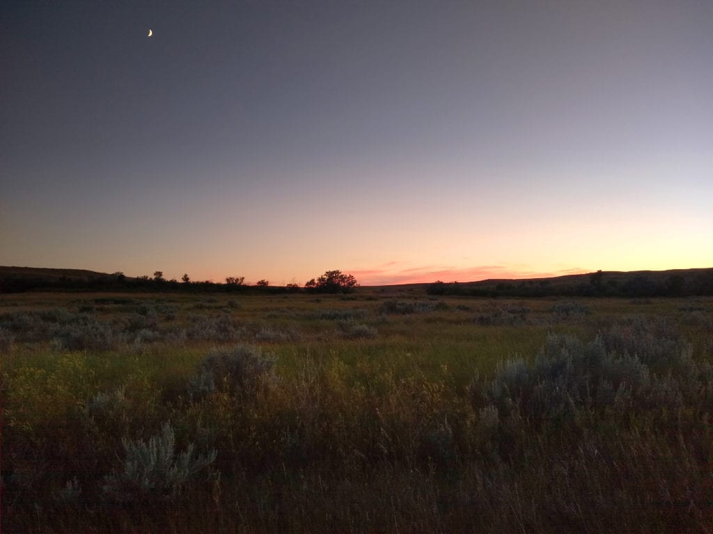
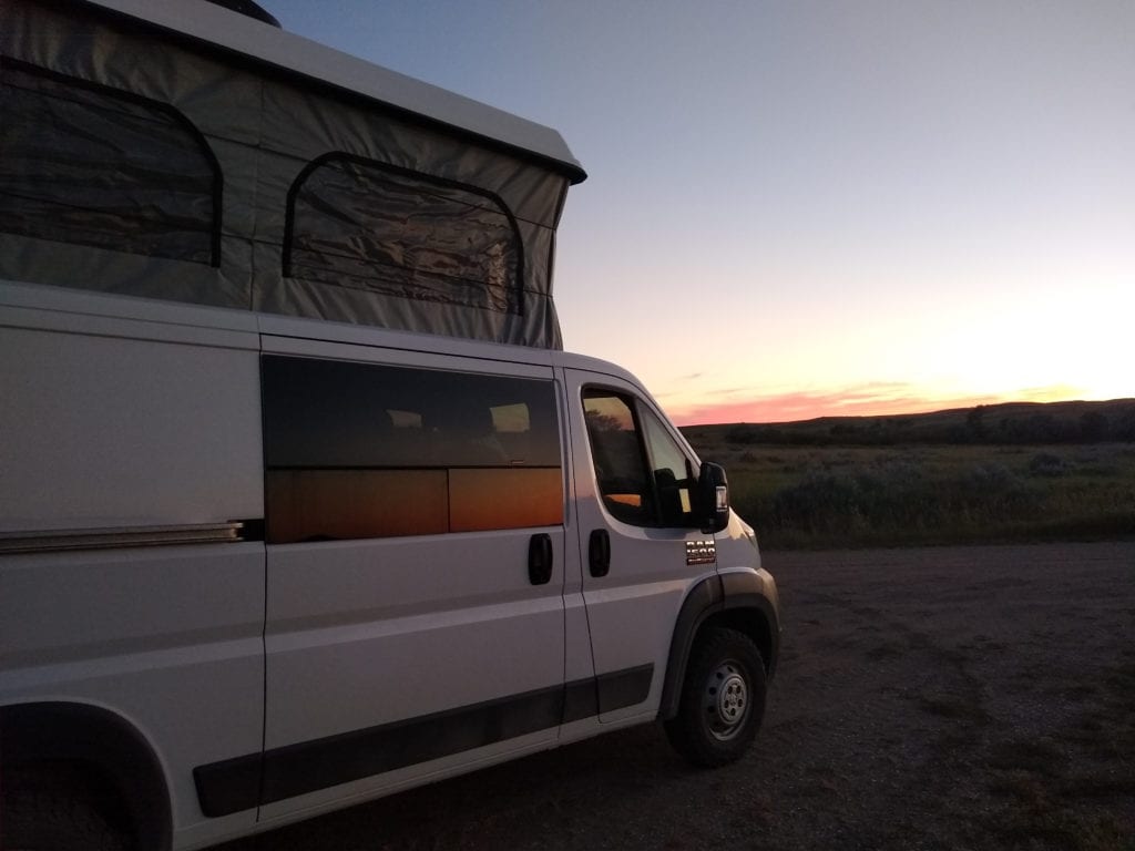
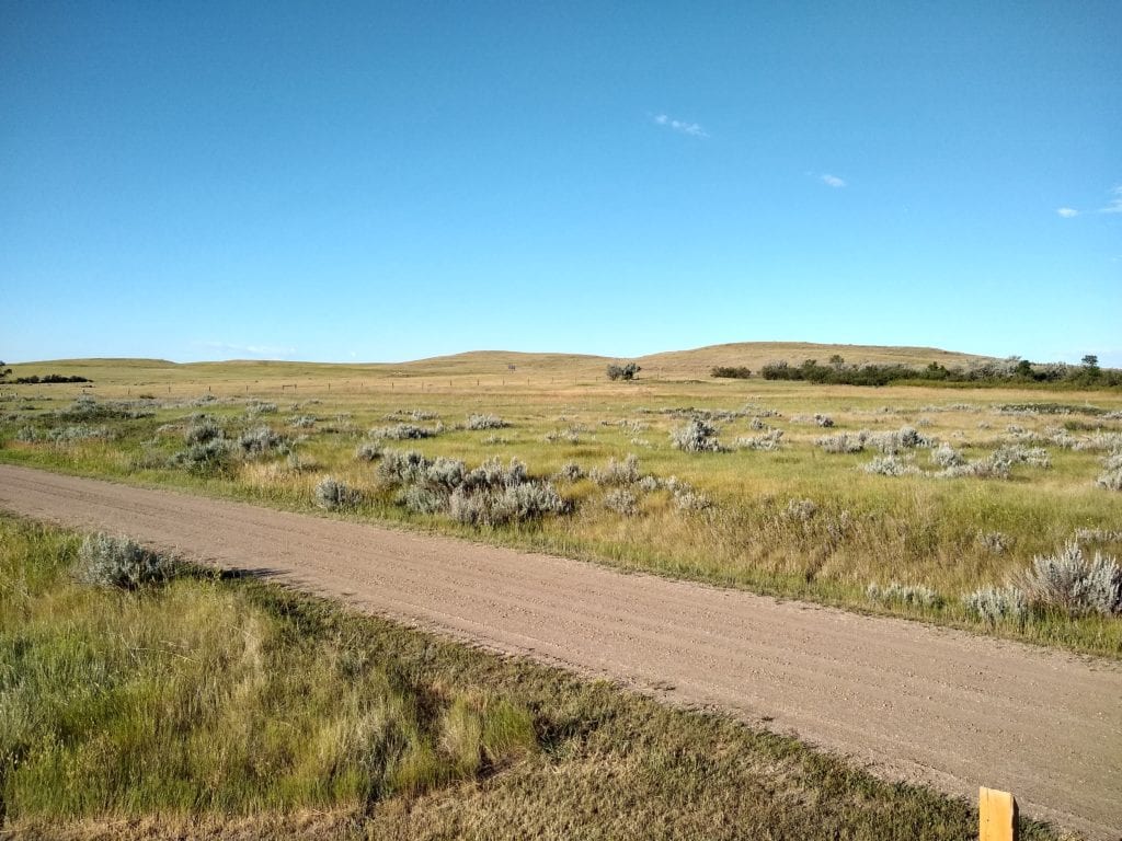
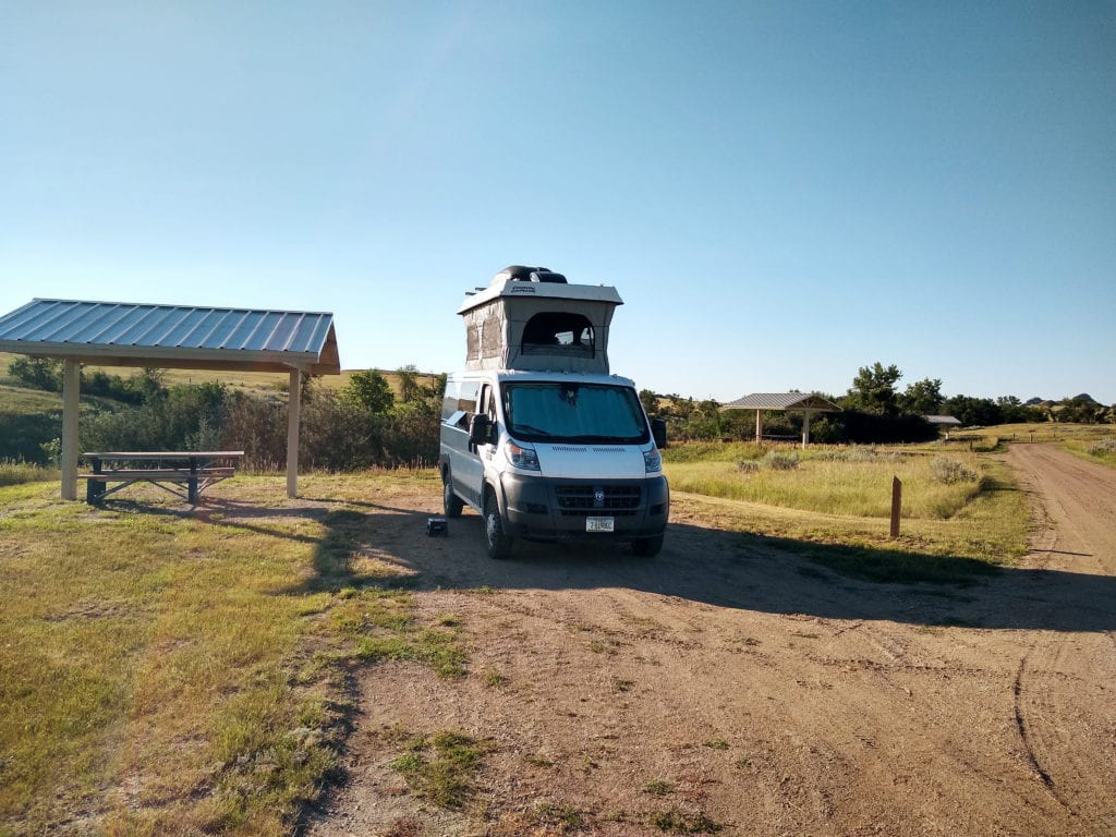
In the morning, we made breakfast, watched the pelicans, packed up, and headed out for another day of driving. We made our way back up to Route 2, and spent the morning driving through fracking country. The goal was to get as far into Minnesota as possible. We did achieve that goal, and almost made it to Duluth. We stopped in Bemidji for dinner on the lake, and a stop a Harmony Health Foods Coop.
Our campground for the night turned out to be the Jacobson Campground. It’s a county park with 13 campsites, along the Mississippi River. We’ve found that often county parks are overlooked by campers. This was no different. While we drove past full campgrounds on the way to Jacobson, which only had three sites occupied when we arrived.
The downside was mosquitoes and loud campers. The mosquitoes kept us in the van, and the loud campers were obnoxious. Fortunately, Shelby had created window screens for the front windows, allowing us to get air in, while keeping the mosquitoes out. The campers quieted down eventually, and we were able to get some sleep.
In the morning, the mosquitoes were still bad, so we hit the road on empty stomachs, uncaffeinated, and with no photos of the campground. We decided we could make it the half hour, or so to Duluth before making breakfast.
It was a good decision, and we ended up at Billings Park, in Superior, Wisconsin, which had a nice spot overlooking the St Louis River and the hills above Duluth. We also made a stop at Twisted Pastries for a couple of treats for the road. They were delicious. It was odd driving through downtown Superior. It felt like a ghost town.
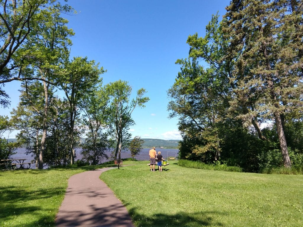
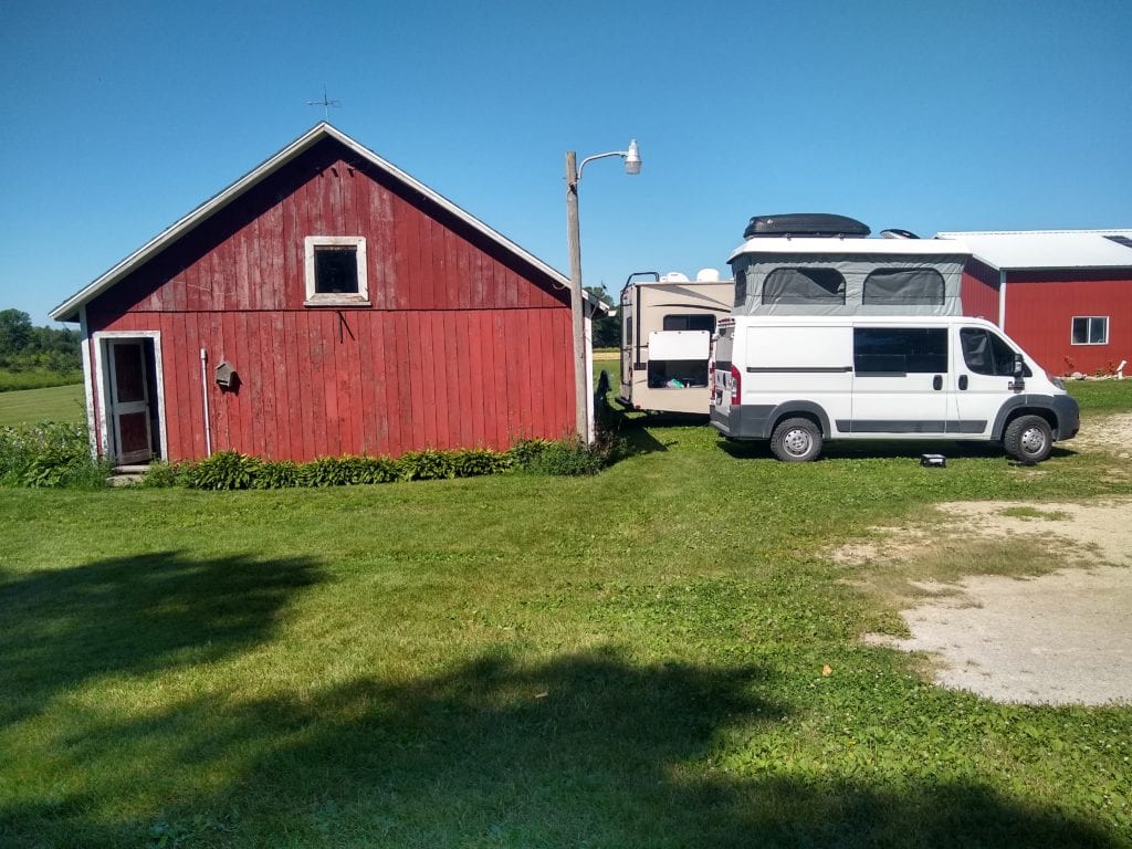
After breakfast, we again left Route 2, and headed southeast towards Sturgeon Bay, Wisconsin, our next destination. The plan was to spend a couple of days at our friend’s farm on the peninsula. We did this twice on our summer in the van, last year, and thoroughly enjoyed it. We figured camping on the farm would allow for some socialization while safely social distancing.
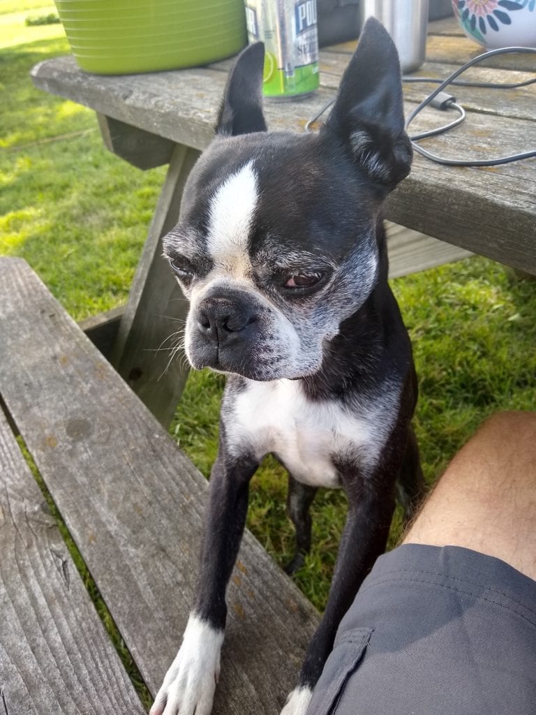
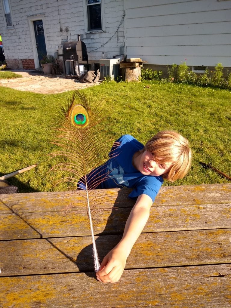
I spent most of the days working on a picnic table under a huge tree, with the dogs, guinea hens, and peacocks keeping me company. The evenings were spent around the fire eating side pork. Our meals were cooked on the grill, or our camp stove. The kids went swimming and played on the farm. It was a nice break from the road, and far better than a regular campground or hotel room. You too, can stay at Lisa’s farm.

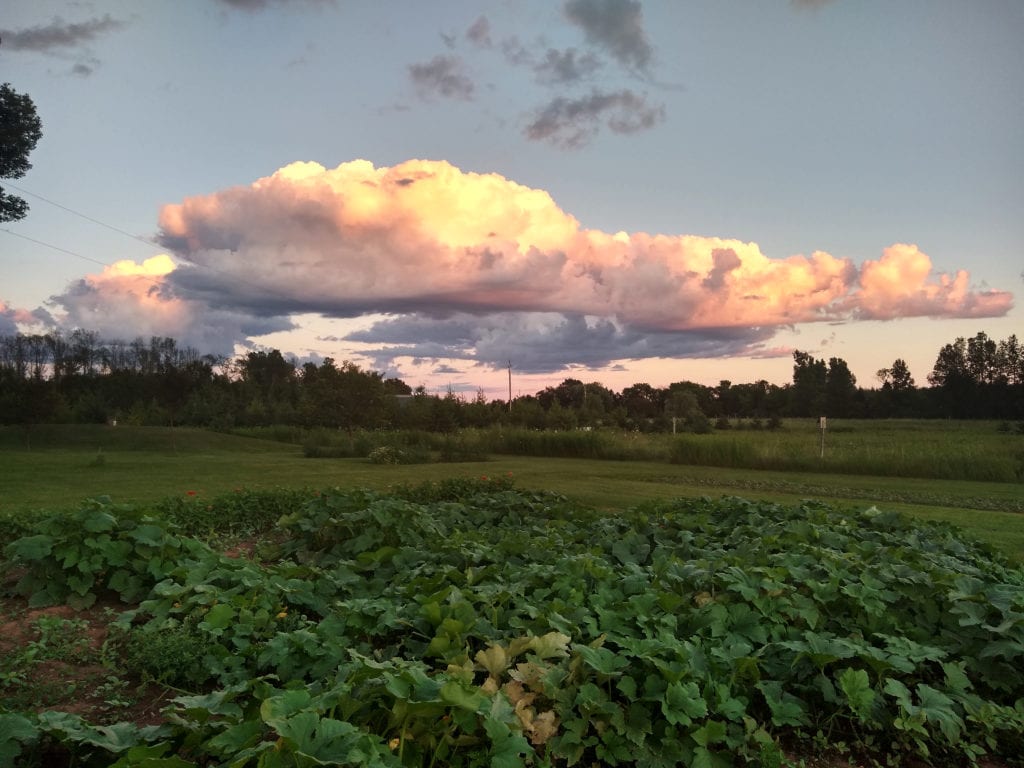
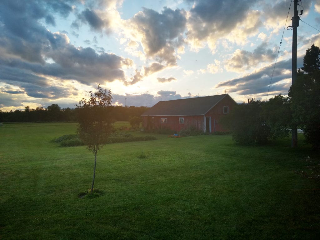
After a couple of days at the farm, we had to say goodbye, and continue on our way. We headed down to Green Bay, and then north again into Michigan’s Upper Peninsula. The route we were on is longer than heading through Chicago, but is much more enjoyable. Driving through, or around Chicago, and through Indiana, is way too stressful. And, depending on accidents, and/or construction, can vary wildly time-wise.
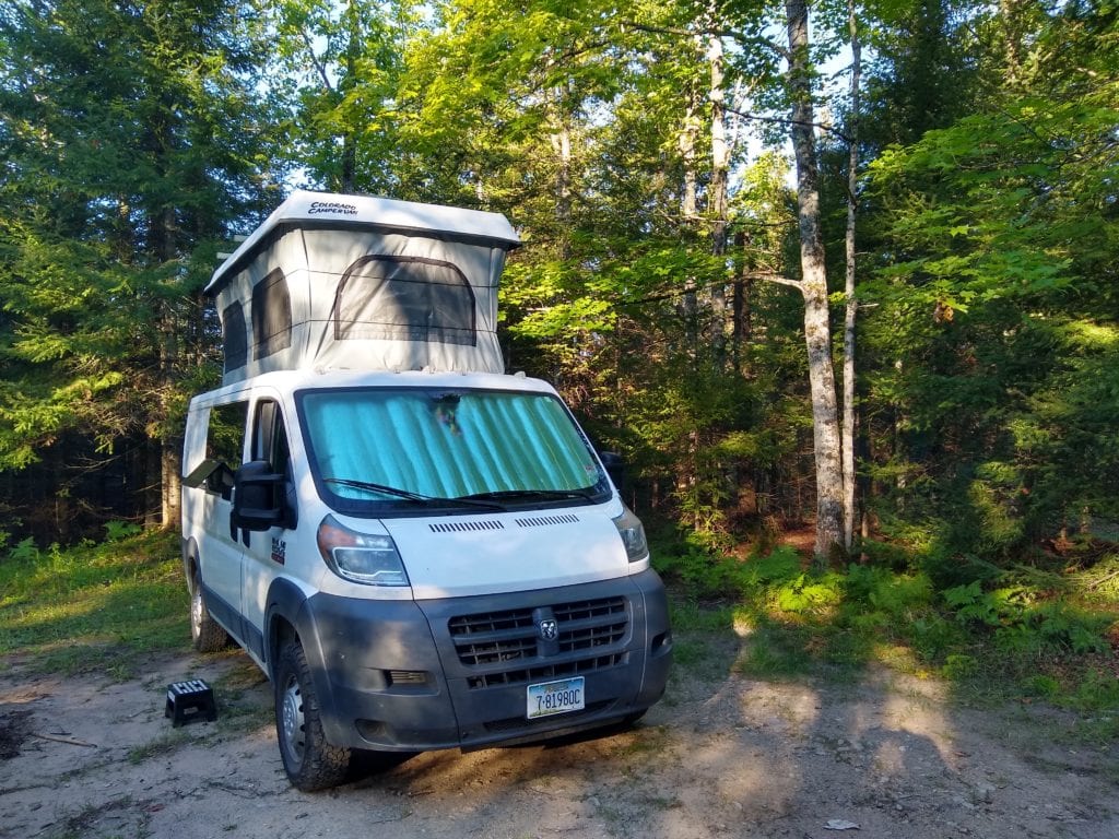
As is always the case, we spent a good amount of time in the afternoon searching online for camping options. We figured that much of the camping in the U.P. would be full. The closer you are to a lake, the less likely you’ll be able to find available campsites. We started searching in middle of the peninsula, with the idea of driving through Marquette in the morning. Somehow, I came across Whitefish Falls on the map. And though I could find no mention of a campground, the satellite view revealed what appeared to be several pull-outs, and a camper or two. Also, the dirt road was labeled “State Forest Campground Road”. That sounded promising, so we decided to give it a try.
It’s always a bit stressful. If you don’t have any reservations, you don’t know for sure that you’ll have a place to stay for the night. Luckily, there were others camping, and there were several open spots. The road is dark, narrow, rocky, and the branches are low. Once down to the camping area it opened up enough to use the pop top.
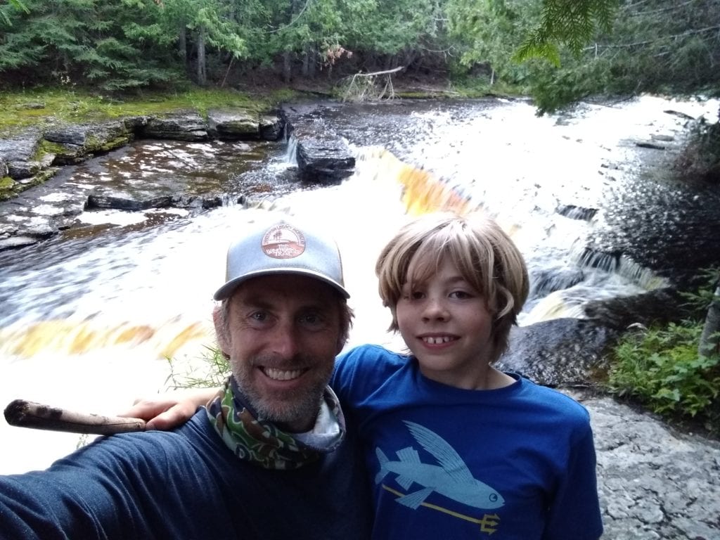
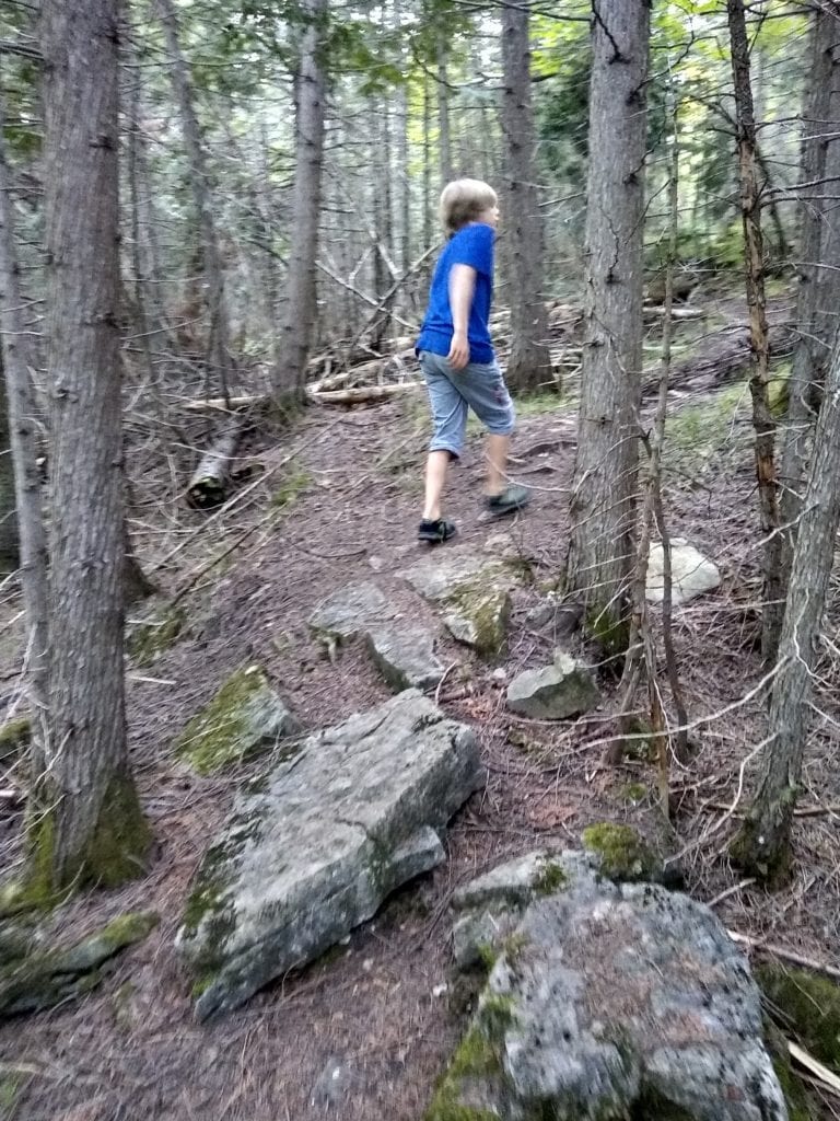
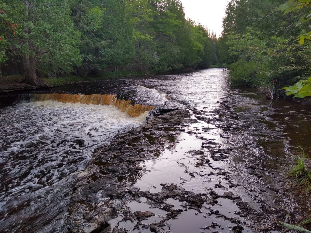
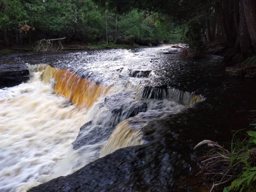
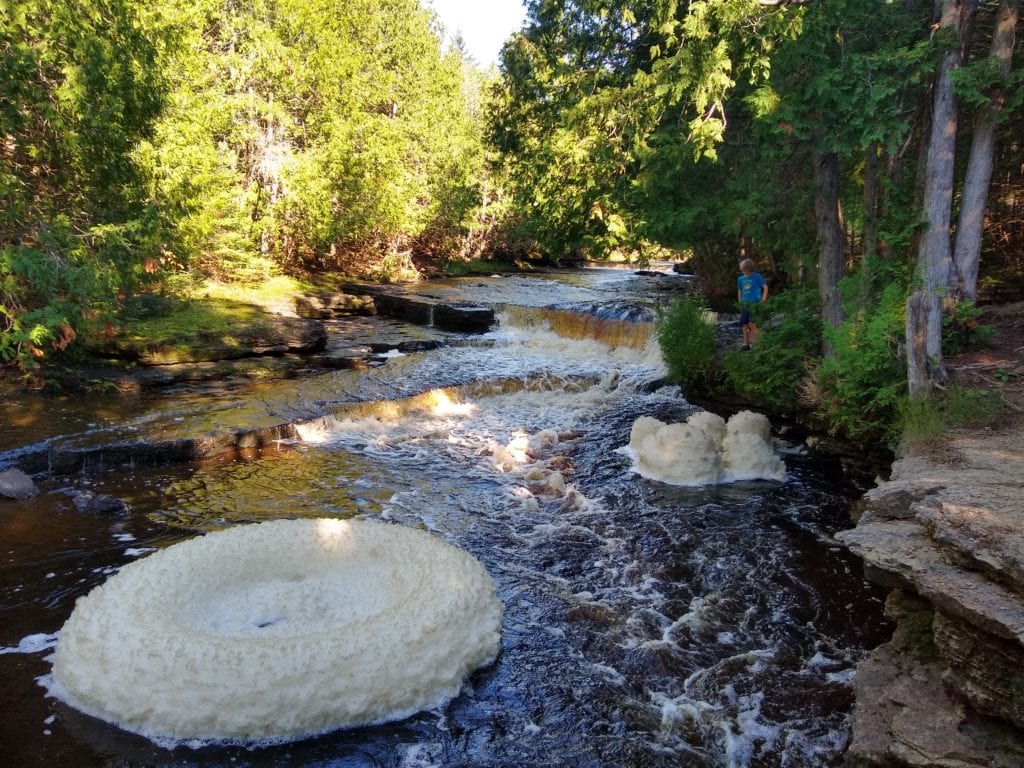
We ended up in a spot right next to the trail that leads to the falls. After setting up for the night Alexander and I went down to the falls, and explored the trail along the river. The falls are nice, though not spectacular. It was fun though, and it’s always nice to camp with the sounds of rushing water nearby. One interesting/strange thing was the giant foam structures that formed along the falls in the morning. What was foam spread out in the eddies, that night, became an eight foot wide, foam doughnut by morning.
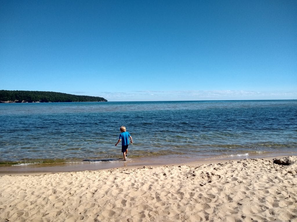
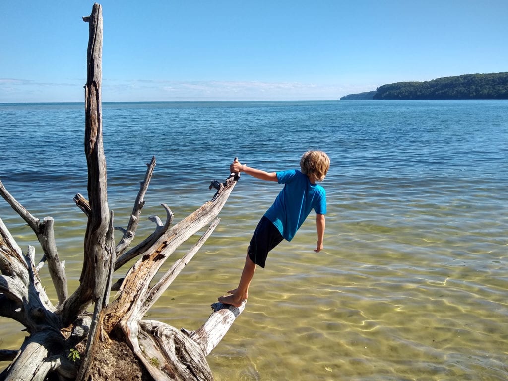
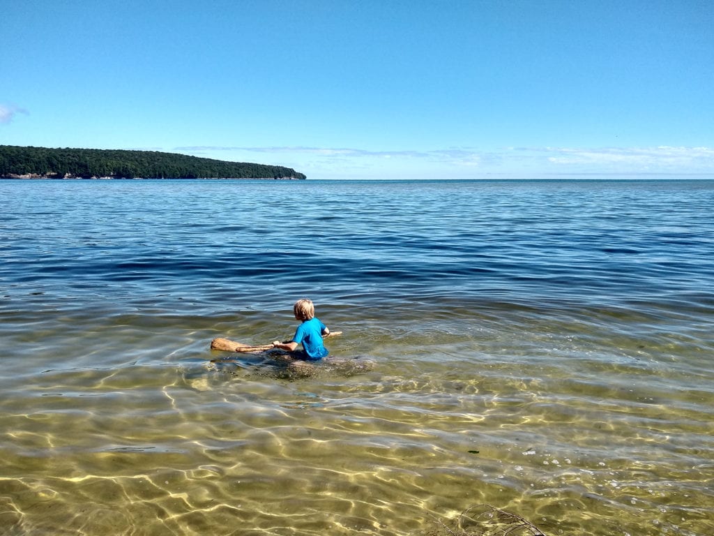
The next morning, due to a desire to get to metro Detroit, we decided to skip Marquette, though we did make it to Pictured Rocks, and visited Sand Point Beach, and Miner’s Castle Overlook. When we arrived at the beach, early on a Tuesday, it was empty, which was a nice surprise. Alexander swam in the unusually, and disturbingly, warm water.
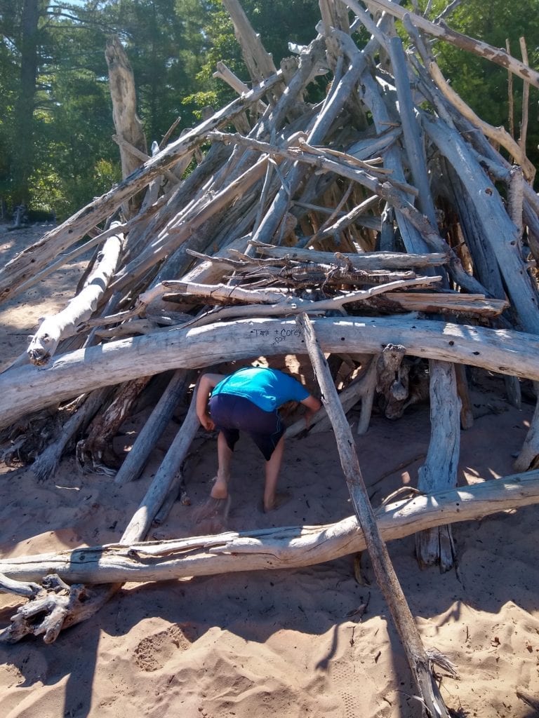
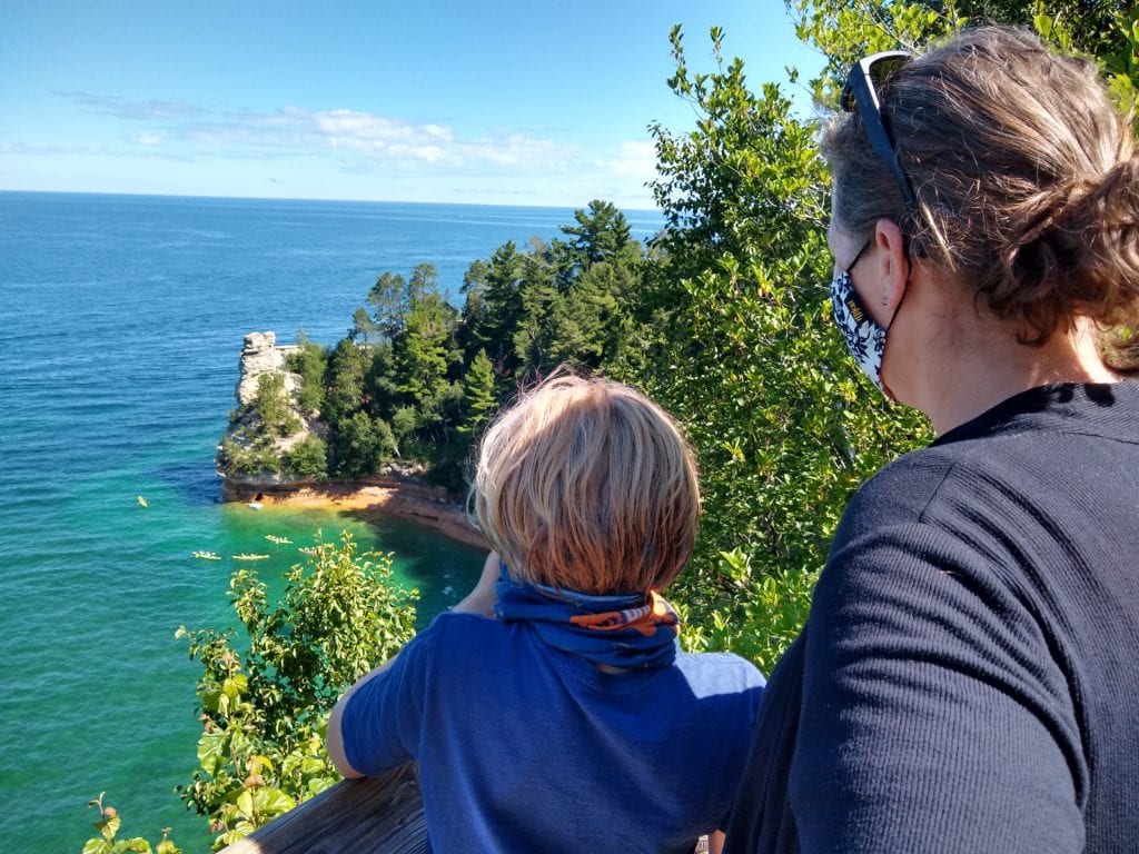
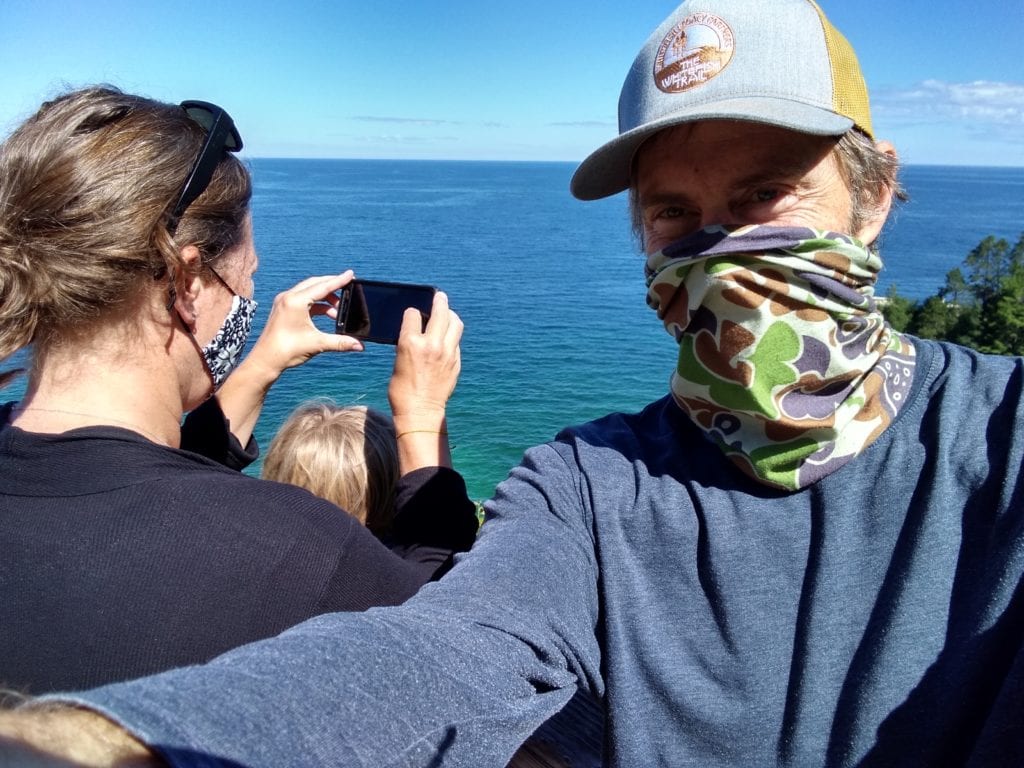
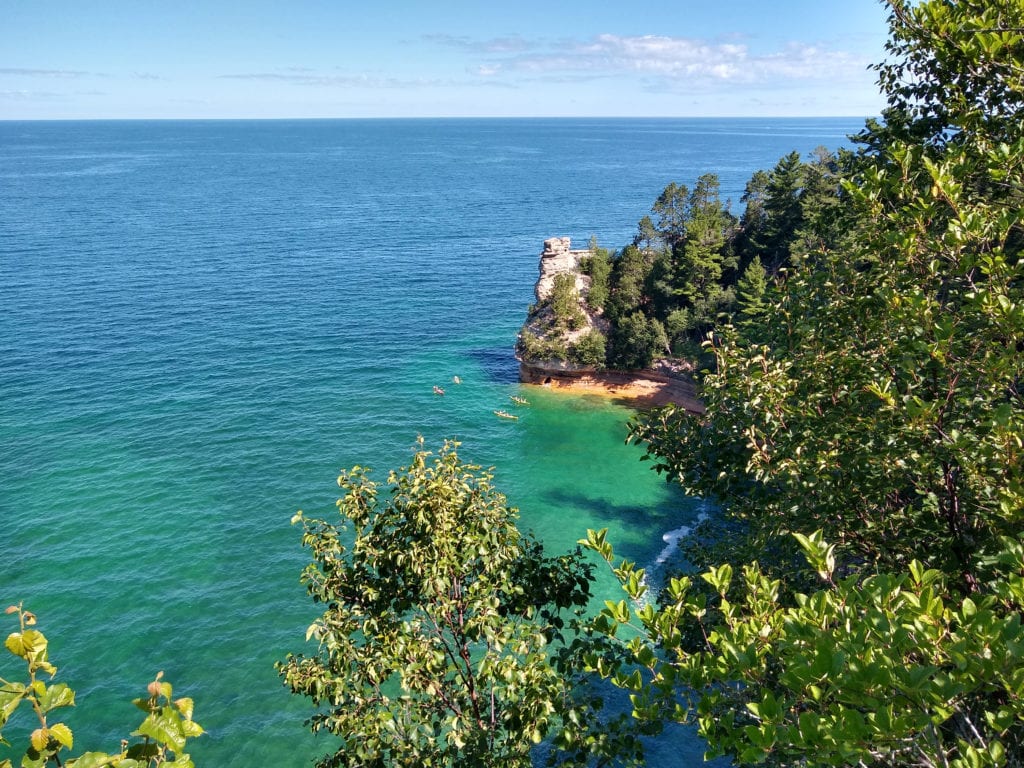
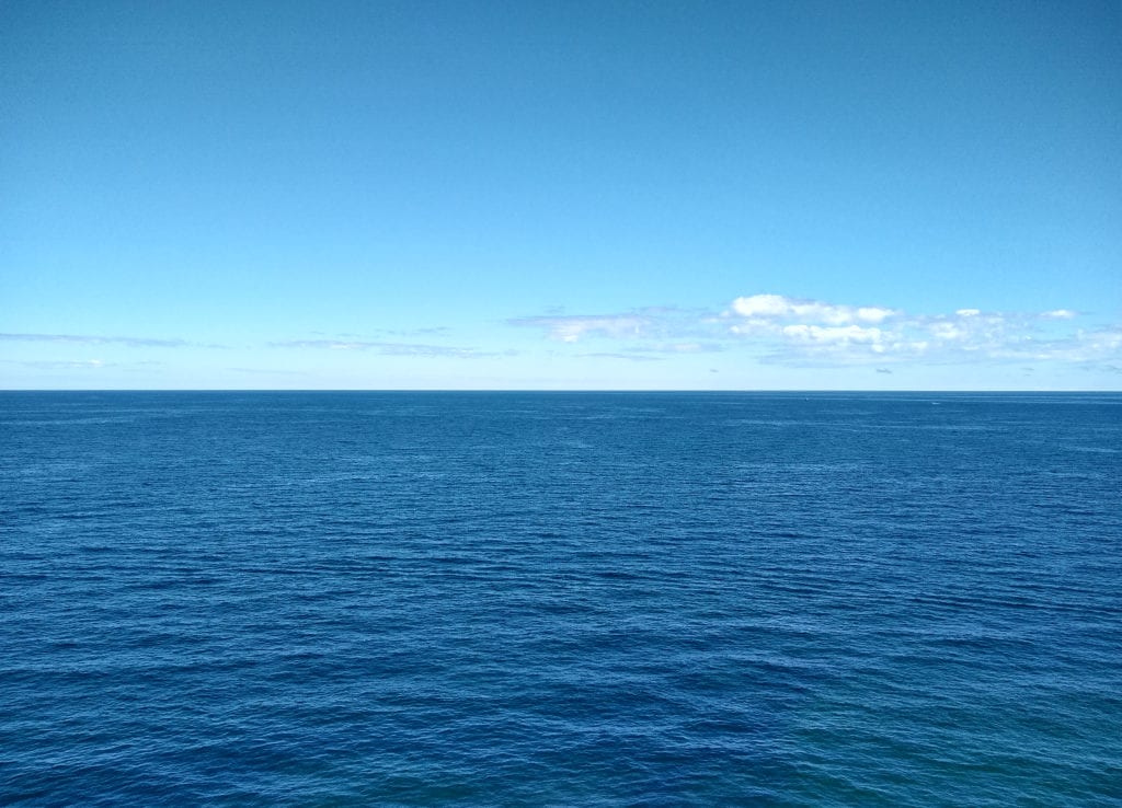
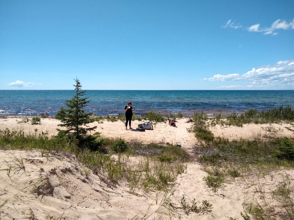
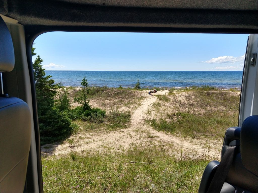
After a brief, but enjoyable visit to Pictured Rocks, we drove south, back to Route 2, and had lunch on the shores of Lake Michigan, where Alexander went for yet another swim. Following that, we finished up our drive on Route 2 at the Mackinac Bridge, where we crossed over to the Lower Peninsula, and made our way down to metro Detroit. Our final hours took us through the Headlands International Dark Sky Park, Bliss, Petosky, and Boyne Falls, before heading over to Gaylord and I-75. We drove past Nub’s Nob and Boyne Highlands, which Alexander thought was ‘cute’. We tried explaining how, as kids, those were the big ski areas, and we only got to visit them once a year, or so.
Distance: 2, 245 miles.
Time: About four days of driving, and around 40 hours of drive time.
Vanlife reality: Some much time driving. Crazy COVID-19 skeptics along the way, dirty diapers at Whitefish Falls, and trash in general.

